
Windplanner allows to plan a wind project in the pre-feasibility phase, to present to residents and other stakeholders, and to understand the visual impact from the environmental perspective. You can compare alternative park layouts and view the project from any angle, in photorealistic images.
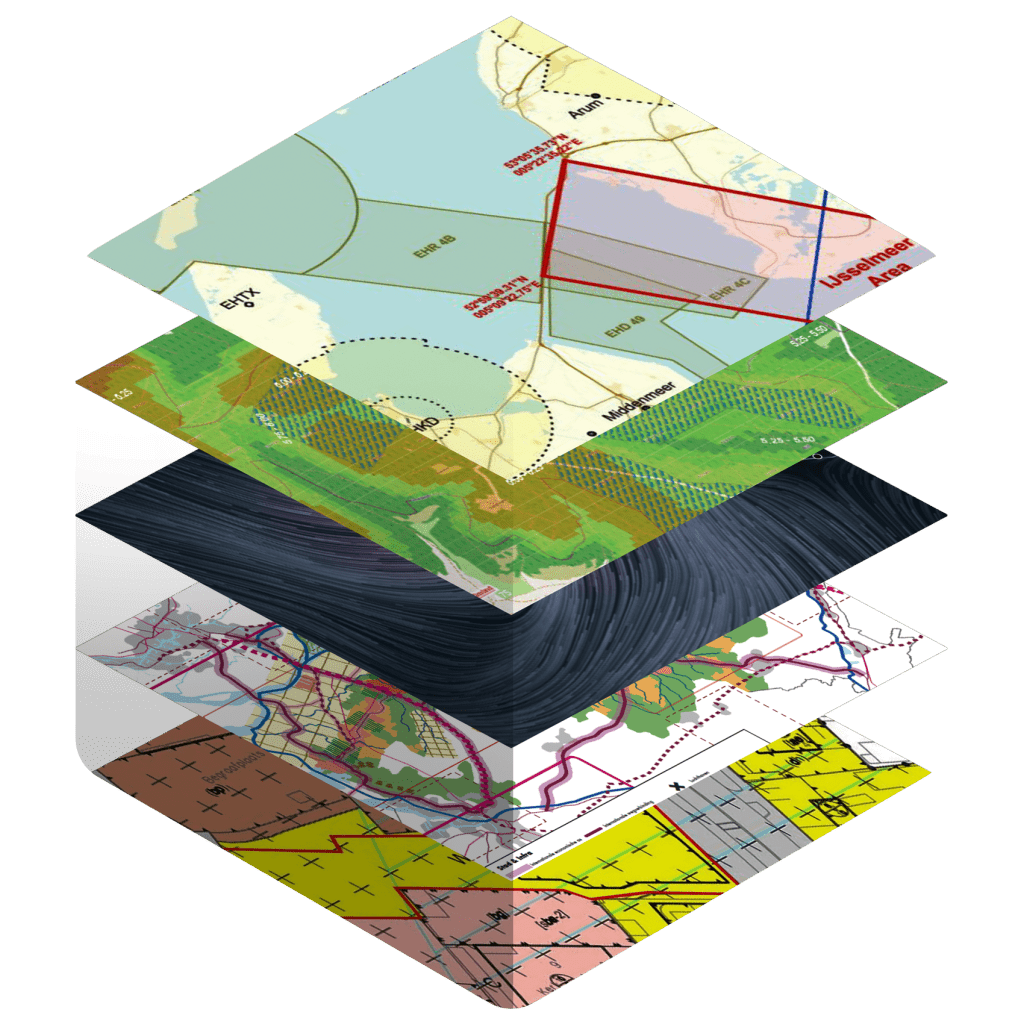
Scout locations anywhere in the world. Upload relevant geographic information such as WindSim resource map, constraints, ownership, to help you scout the best location.
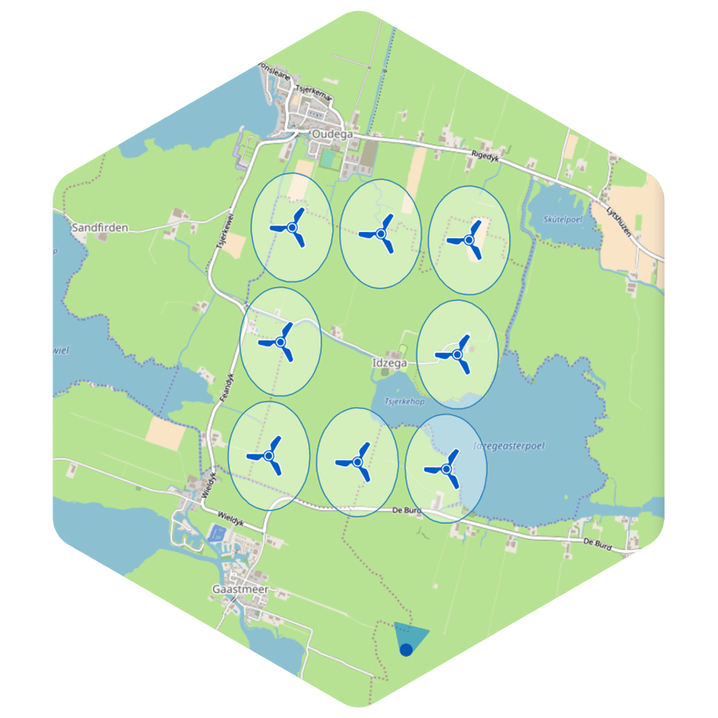
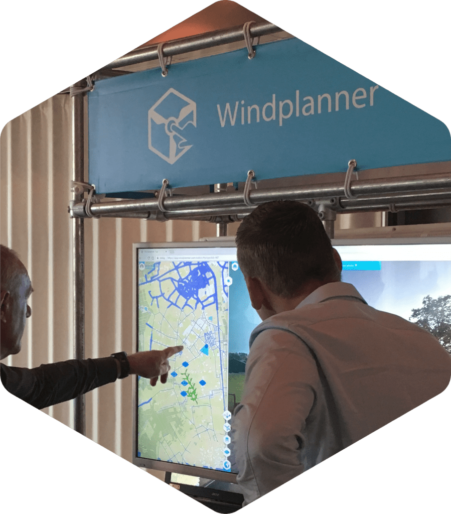
Design your wind energy proposal to suit your needs. Place turbines in configurations, create alternative layouts. Import or export your turbine list from and to WindSim. Separate turbines using wake loss criteria, line and grid tools, and distance to residential properties.
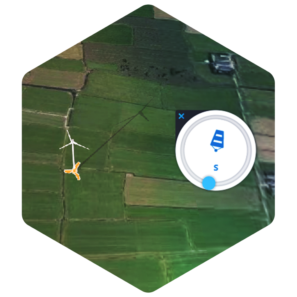
Adjust turbine properties like hub height and blade diameter. Change date, time and wind direction and see the impact of shade real time.
View the local environment from any angle you like. In 3D-view with buildings, trees and existing landmarks like turbines and power lines. Or in panoramic photos such as StreetView
View the local environment from any angle you like. In 3D-view with buildings, trees and existing landmarks like turbines and power lines. Or in panoramic photos such as StreetView
Create stunning animations or share in VR and experience the visual impact of a future wind turbine; with life-like scale as if it’s already built.
More information is available at https://windplanner.com.
| Cookie | Duration | Description |
|---|---|---|
| cookielawinfo-checkbox-analytics | 11 months | This cookie is set by GDPR Cookie Consent plugin. The cookie is used to store the user consent for the cookies in the category "Analytics". |
| cookielawinfo-checkbox-functional | 11 months | The cookie is set by GDPR cookie consent to record the user consent for the cookies in the category "Functional". |
| cookielawinfo-checkbox-necessary | 11 months | This cookie is set by GDPR Cookie Consent plugin. The cookies is used to store the user consent for the cookies in the category "Necessary". |
| cookielawinfo-checkbox-others | 11 months | This cookie is set by GDPR Cookie Consent plugin. The cookie is used to store the user consent for the cookies in the category "Other. |
| cookielawinfo-checkbox-performance | 11 months | This cookie is set by GDPR Cookie Consent plugin. The cookie is used to store the user consent for the cookies in the category "Performance". |
| viewed_cookie_policy | 11 months | The cookie is set by the GDPR Cookie Consent plugin and is used to store whether or not user has consented to the use of cookies. It does not store any personal data. |
Join us for FREE to get instant email updates.
You can unsubscribe at any time by clicking the link in the footer of our emails. For information about our privacy practices, please visit our website.