WindSim | Module Overview
WindSim delivers a modular approach that guides you every step of the way.
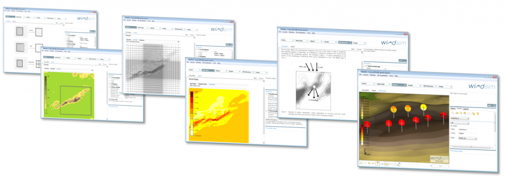
The Terrain module generates a 3D model of the area around your wind farm based on elevation and roughness data. You can model forested areas and physical objects, such as buildings, to include the influence these have on the wind flow.
The Wind Fields module generates the wind database. The module simulates how the terrain affects local wind conditions in terms of speed-ups, direction shifts, and turbulence. Various physical and numerical models are available, with different strengths, e.g. with respect to computing speed or robustness.
Placement of turbines and measurement points is done in the Objects module. Its fully interactive 3D interface is easy-to-use. A significant benefit of the 3D tool is that you can inspect the visual layout of the wind farm from different distances and angles. Measurement data is given either as frequency distributions or as time histories.
The Results module allows easy inspection of flow variables such as wind speed, directional shifts, turbulent intensity, and the vertical component of the wind. You specify the heights above ground and the wind sectors you are interested in.
The wind resource map is established by weighting the wind database against measurements. If several measurements are available, the wind resource map will be based on all of them by interpolation. The wind resource map is the basis for the energy optimization.
The Energy module is where you calculate the annual energy production (AEP) for each turbine within the wind farm. Wake losses are also identified. And, you can compare alternative park layouts here.