Micro-scale wind resource mapping
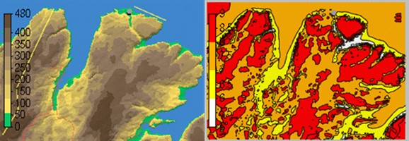
Modeling is needed in order to transfer the measured wind distribution at mast position to any other position within the wind farm, and thereby obtain a high resolution three dimensional wind resource map. The local wind field is affected by the terrain. This information is given to the software through a digital terrain model which includes terrain height and roughness data. Terrain data can be provided by the client. Alternatively, public available terrain data can be used.
Terrain data is used to establish a domain where the RANS (Reynolds Averaged Navier – Stokes) equations will be numerically solved. Twelve or more RANS simulations will be performed in order to have a 3D wind field for every wind direction.
The effect of forest and obstacles on the wind shear and ambient turbulence can be modelled using a canopy model. Temperature effects on the wind speed vertical profile can be modelled by activating the solution of the temperature equation.
The quality checked long term corrected wind measurements are used to scale the simulations and obtain the wind resource in the 3D domain.
Wind measurements at different height and position will be used also as a mean to quality check the results from the CFD simulations in terms of horizontal and vertical extrapolation of wind speed and turbulence.